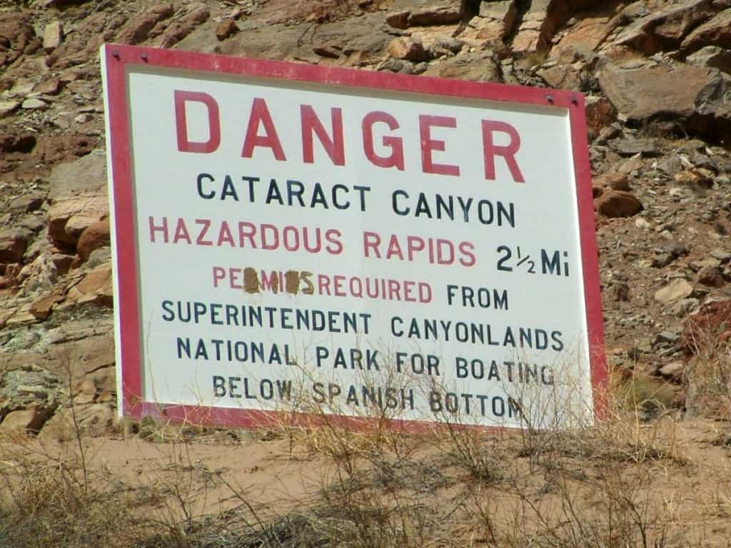
Cataract Canyon is a section of the Colorado River between Moab above Lake Powell and the Grand Canyon. It flows through the heart of Canyonlands National Park, the largest national park in Utah and one of the most magical areas in the state. This remote region of the park is only visited by a handful of people every year due to its inaccessibility. The only access to this region of the park are the river and a single road (if you can call it that) that's a full-on expedition of its own. If you decide to undertake the logistical puzzle of running Cataract, you will be rewarded by picturesque side hikes, archaeological sites, thrilling whitewater, and best of all, the solitude and peace of being in isolated in one of the most magical places in the American Southwest.
Featured Outfitters
 Holiday River Expeditions (800) 624-6323 The Colorado River through Cataract Canyon is our signature trip. Synonymous with adventure, it's perfect for people with a longer time frame who want a truly immersive river experience, whitewater enthusiasts, and stand-up paddleboarders. Experience "The Holiday Way", running rivers without motors since 1966.
There are two options for the Cataract Canyon put-in. Mineral Bottom (top left on the map) offers an option to put on on the Green River, and Potash (top right on the map) offers an option for the Colorado River. Both stretches of river are similar in length. Both are completely flat, offering no rapids of any kind. Either way, you will spend 4 leisurely days floating down the flatwater, marveling at your surroundings.

A map of the Cataract Canyon put-ins. Mineral Bottom is on the top left, Potash on the top right, and the confluence at the bottom.
Most people choose the logistically easier option of putting in at Potash. This site is close to Moab, offering an easy meet-up point with grocery stores, camping, and a short drive to the river. However, during the higher use summer season, jet-boat tours rocket up and down the river several times per day, disturbing the peace and quiet. Commercial Cataract trips also use this side of the river, making campsite selection a little tougher (they're all first-come, first-served).
Fewer people choose to put in at Mineral bottom, making the Green River side a much more remote, peaceful option. Through Stillwater Canyon, as this section is known, the canyon walls are deeper, closer to the river, and more dramatic than their Colorado river counterparts. Stillwater Canyon also offers slightly more hiking options. However, the drive to Mineral Bottom is horrible. 16 miles of rutted, muddy dirt road culminates in hair-raising switchbacks straight down a cliff face. It's recommended to have 4-wheel drive and a lot of trailer driving experience. This road should not be taken lightly. However, if you brave the perils of the road, the stretch of river is well worth it.
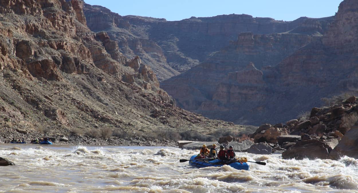
Dropping into one of the many rapids in the heart of Cataract Canyon. Photo by Zach Blumenthal.
Either way, you'll end up floating to the confluence of the Green and Colorado Rivers. You will pass Spanish Bottom, the only place there's a trail out of the canyon. This trail leads to the Maze district of Canyonlands, a labyrinth canyons at the heart of the park. After Spanish Bottom you'll enter Cataract Canyon where you'll leave the flat water behind. The canyon is littered with legendary Class III and IV rapids. At the higher flows commonly found in the spring months, these rapids rival those in the Grand Canyon and come in quick succession.
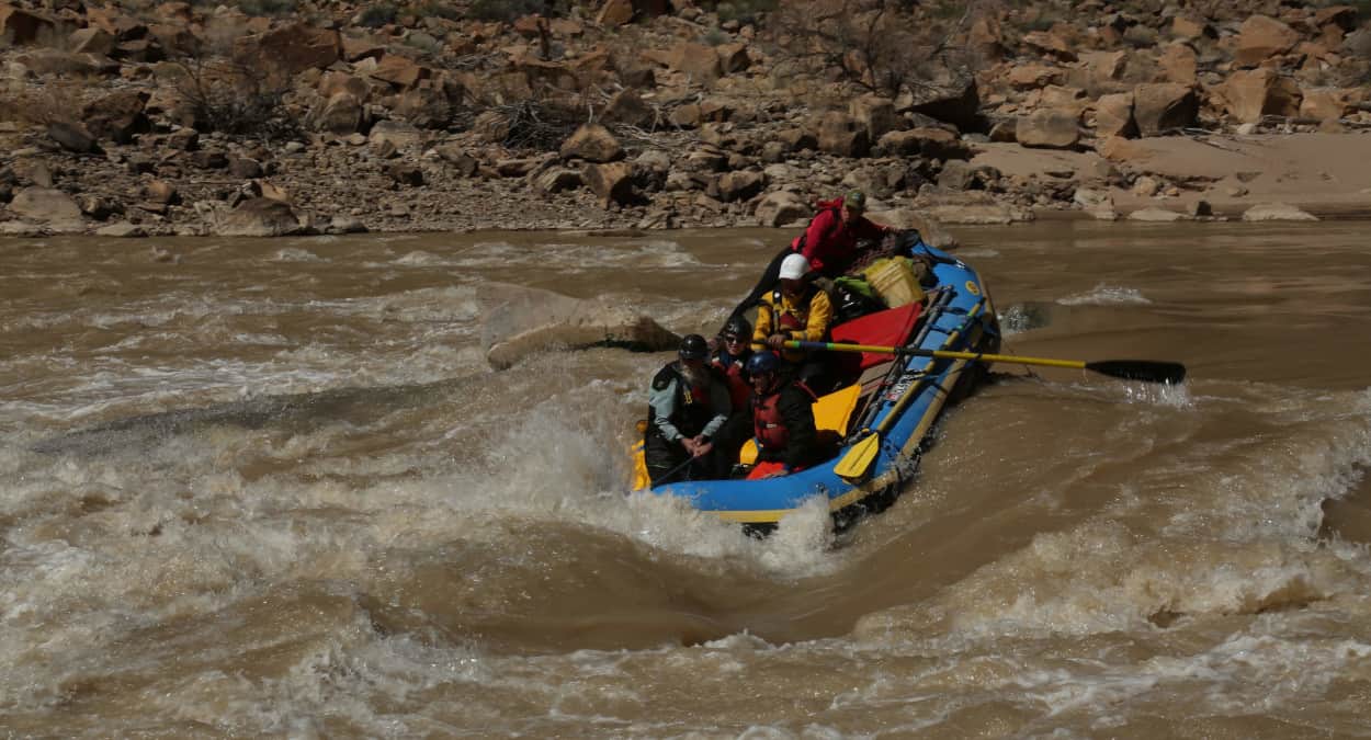
A little too far right of the left line at Big Drop Three. Photo by Zach Blumenthal.
After the rapids, you end up on the slack water of Lake Powell. If the lake is low, a channel with flowing water runs all the way to the takeout. If the lake is high, there could be up to thirty miles of dead-flat lakewater. It's recommended to bring a motor for your trip either way, as the up-canyon wind on this section of the lake can be brutal.
Cataract Canyon is a committing, logistically complicated river trip. However, all the upfront work pays off. Cataract Canyon is also a unique, stunningly beautiful place where you're sure to experience the majesty of the Southwestern desert.
Trip Details
Potash to Confluence
Mile 0: Put-in at Potash Launch Site on the Colorado River.
Mile 8.2: Dead Horse Point is visible dead ahead.
Mile 16.5: The river enters Canyonlands National Park.
Mile 23.8: Lathrop Canyon comes in from river right. This windy canyon makes a beautiful side hike! Opposite from Lathrop Canyon, there are some Native American ruins and pictographs. A small trail leads up through the tamerisk to the site that's definitely worth checking out!
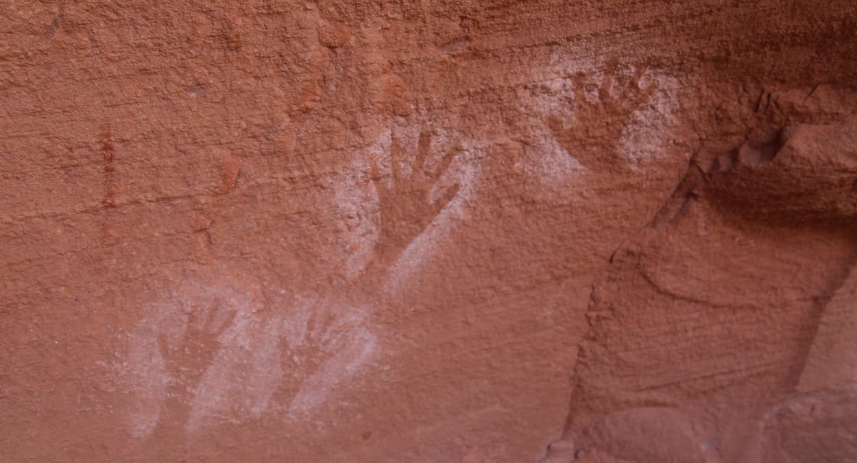
Handprint pictographs at Lathrop Canyon. Photo by Zach Blumenthal.
Mile 27.3: Coffee Pot Ruin is on river left.
Mile 30.9: Indian Creek joins the river from the left.
Mile 36.5: The start of the Loop hike. Here, you can hike up and over the canyon wall and rejoin the river four miles later.
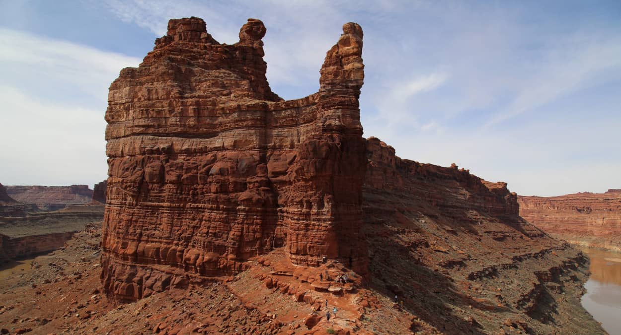
From the top of the Loop Hike. Notice the river in both sides of the picture. Photo by Zach Blumenthal.
Mile 40.5: The end of the Loop hike. Don't forget to pull over and pick up your hikers!
Mile 47.5: The confluence of the Colorado and Green Rivers.
Mineral Bottom to Confluence
Mile 0: Put-in at Mineral Bottom on the Green River.
Mile 6.4: Horsethief Canyon joins the river from the right.
Mile 11.3: The hike to the ruin at Fort Bottom is on river left. Pull over at a small beach and head up the trail. You will pass a small cabin along the way. Hike all the way to the rim and you'll see a large tower. This is the Fort Bottom Ruin.
Mile 20.9: Howling Wolf Rock. On river left, there is a rock that looks strikingly like a howling wolf.
Mile 21: Across from Howling Wolf Rock, pull over on river right to hike Anderson Bottom. This old river meander offers a loop hike along the old path of the river.
Mile 28.5: Turk's Head comes into view. This prominent rock outcropping is dotted with ruins and granaries, so keep your eyes peeled on river right! Candlestick Tower is also visible dead ahead.
Mile 32.7: Deadhorse Canyon joins the river from the right. This canyon offers a long, beautiful hike up the wash.
Mile 42.9: Jasper Canyon is on river right. This large alcove is a nice spot to bring a guitar up on a hot day to escape the heat.
Mile 47.8: Shot and Water Canyons on river right offer some nice side hiking.
Mile 52.3: The confluence of the Colorado and Green Rivers.
Cataract Canyon
Mile 54.6: A sign on river left warns of the rapids to come. Make sure to pull over and sign up for campsites. A log book allows trips to communicate where they plan on camping. This book allows for communication, but by no means sets anything in stone. Be prepared to be flexible.
Mile 56.4: Spanish Bottom is on the right. This is a high-water only camp unless you like hauling things up a cliff. If you don't plan on camping at Brown Betty campsite, be sure to pull over here to hike up the steep cliff to the Dolls House. This spectacular section of the Maze features a labyrinth of massive towers, ancient ruins, and fun canyons. Trails criss-cross the area, please respect the area and stick to them. This is a MUST DO side hike. A trail heads from the Dolls House upriver to an overlook of the confluence.
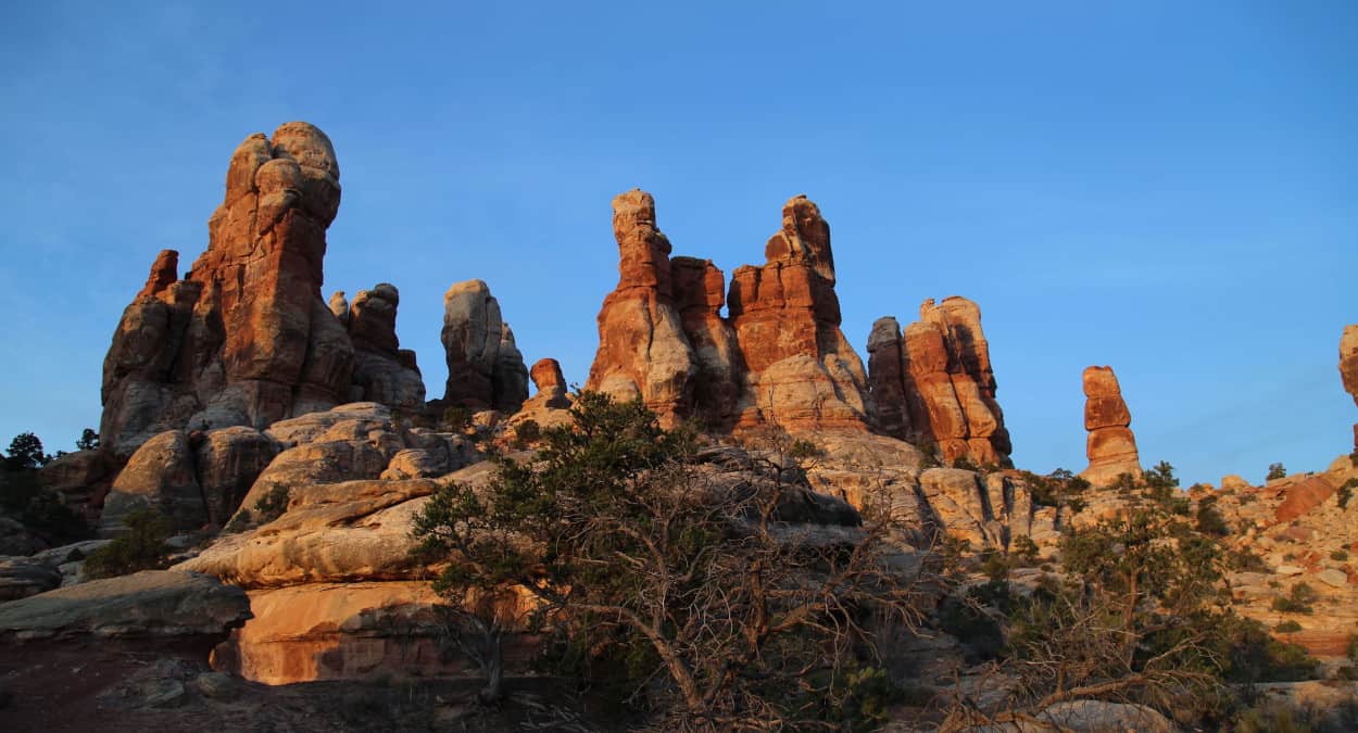
Just a small taste of the majesty of the Doll's House. Go there. Photo by Zach Blumenthal.
Mile 56.8: Brown Betty Rapid and Campsite. This is the first of the rapids in Cataract Canyon. After the rapid on the right, there is a large beach that makes for a fantastic layover campsite. A trail from the upstream side of camp heads back up to Spanish Bottom, allowing you to spend all day at the Dolls House if you decide to lay over. This popular campsite is big enough for two trips to comfortably share, be respectful and communicate!
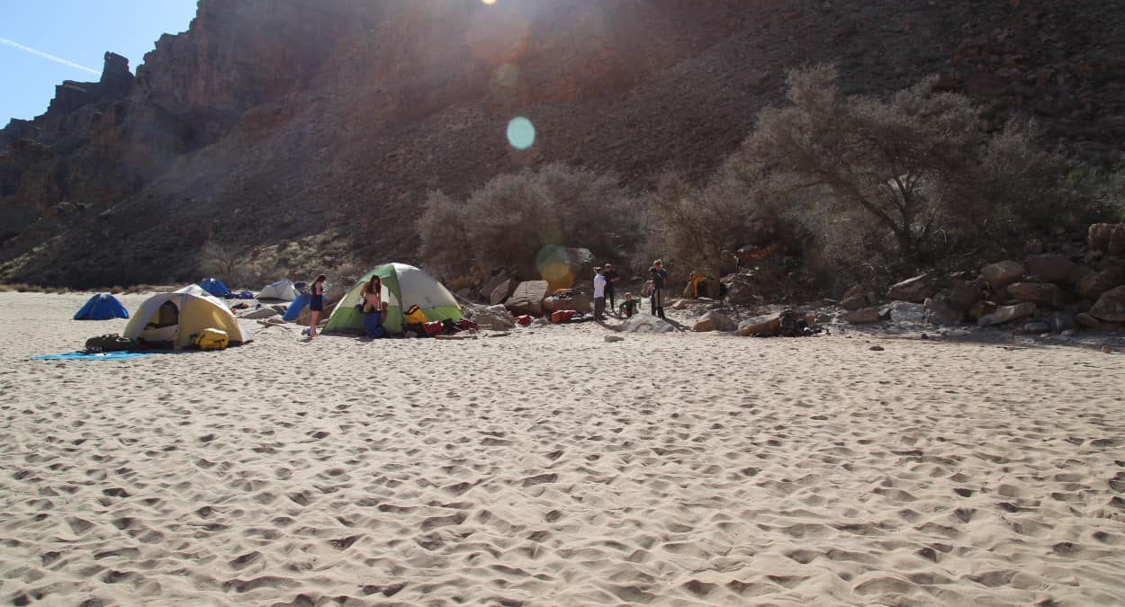
The big, beautiful beach campsite at Brown Betty is big enough for a thirty person trip to spread out. Photo by Zach Blumenthal.
Mile 58.2: Rapid 5 (Class III+). Large pourovers can form in this rapid at low water, and it can be scouted from river right. Another large beach campsite is just below rapid 5 on the right. If you missed out on the Doll's House before, this is your last chance! A tricky scramble up the canyon leads to the backside of the Doll's House.
Mile 60.4: Y and X Canyons come in from the left. Several beautiful beach campsites are on both river right and river left. Rapid 10 is an incredibly fun wave train that is best taken straight down the gut.
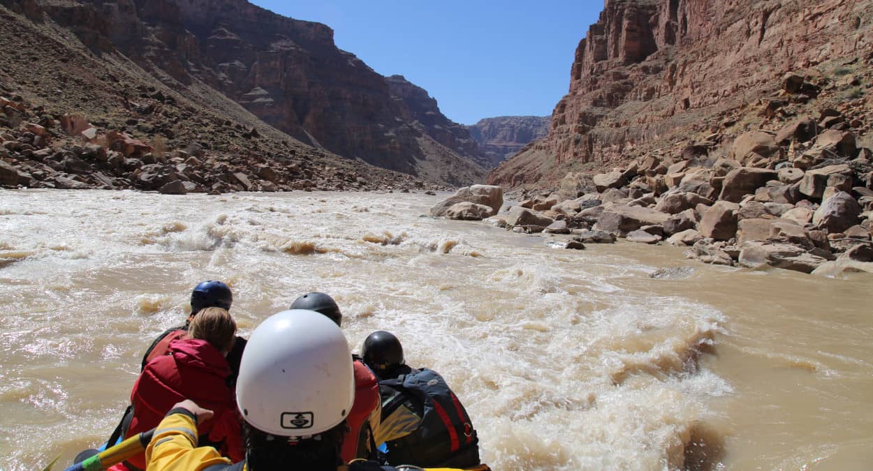
Dropping into a rapid on Cataract Canyon. Photo by Zach Blumenthal.
Mile 64-65.2: Buckle up, it's about to get bumpy! Rapids 13-19 are known as the Mile-Long rapids, as they come in very quick succession. Most are read-and-run class III, however Rapid 15, known as Capsize Rapid (Class III+), should be approached with caution. This rapid can be scouted two ways, both on river right. One method is to pull over before Rapid 13 and go for a long hike downriver. Another method is to pull over between Rapid 14 and Capsize. Be sure that everyone in your party is ready to catch the eddy, as there is not much space between rapids. At high water, this second option is not possible.
Mile 65.7: Rapid 20, or Ben Hurt Rapid (Class III+). Here, the rivers splits around an island. Be sure to take the right hand channel and watch out for features at the bottom! Depending on the water level, holes or pourovers line the bottom of the rapid. The line is left of center, and can be scouted from the island.
Mile 66.2: Rapid 21, or Big Drop 1 (Class III). This is the first of the infamous Big Drop rapids, and the easiest of the three. A fun wavetrain runs down the center of the river. Be ready to pull over on river left to scout Big Drop 2.
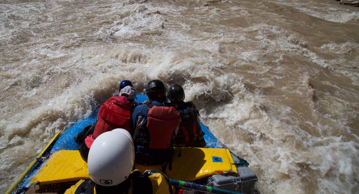
Dropping into a large wave in Big Drop One. Photo by Zach Blumenthal.
Mile 66.5: Big Drop 2 (Class IV). The second of the Big Drop rapids should be scouted from river left. A massive rock in the center divides the river at low water, and becomes a feature known as Little Niagra at flows over 30,000. The run is generally left, moving hard to the right. Make sure you hit all the features square, or you'll end up in the tail waves sideways.
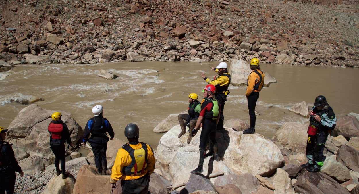
Scouting Big Drop Two. The typical line is to the left of the big rock at the top. Photo by Zach Blumenthal.
Mile 66.7: Big Drop 3, also known as Satan's Gut. (Class IV). This rapid has many different run options depending on the water level. At very low water, it should be scouted from river left. A narrow channel between rocks provides a smooth run through, as long as you set it up correctly. At medium flows from 12,000-20,000 cfs, the rapid should be scouted from the right and run right to center. Be careful of the large hole that is the rapid's namesake on the bottom right. At very high water levels, 30,000+ cfs, the rapid must be scouted together with Big Drop 2, as there is no way to pull over between rapids.
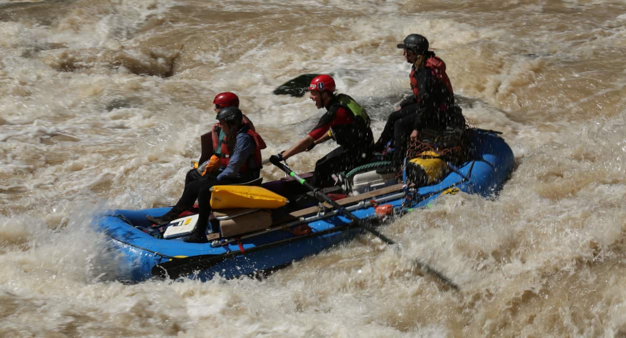
A clean run through the left line at Big Drop Three. Photo by Zach Blumenthal.
Mile 68.1: Ten Cent Canyon. Just after Rapid 26, there is a beautiful beach campsite on the left. This is a great spot to stop for camp and celebrate your successes (or laugh about your failures) in the Big Drops. This is the second to last nice campsite on the canyon.
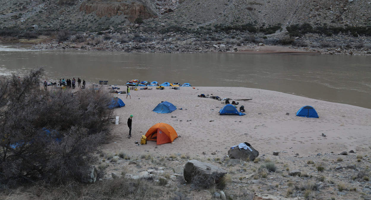
The beach campsite at Ten Cent Canyon. Photo by Zach Blumenthal.
Mile 68.7: Imperial Rapid (Class III+). This long rapid has a fun wave train at the bottom after a long lead-in. Below the rapid on the left is the last nice sandy camp you're likely to find.
Mile 70-71.4: Several small Class II+ rapids. At low water, be sure to pay attention here. There are a lot of rocks that can cause issue.
Mile 72-100: Welcome to Lake Powell! Depending on the lake level, you could be on some seriously flat, current-less lakewater. At this point, it's recommended to bust out the motor that you (hopefully) brought with you, barge the boats together, and head to the takeout. Due to fluctuating lake levels, it's very difficult to find a campsite that isn't mud. Wind on this section can be brutal, so thankfully you brought that motor with you. Did I mention that you're going to want a motor for this section?
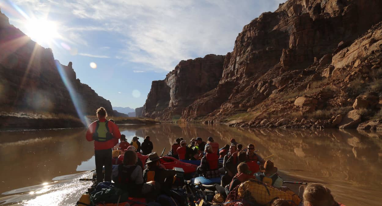
Motoring out of Cataract Canyon on Lake Powell. Photo by Zach Blumenthal.
Mile 86.1: Dark Canyon joins the river from the left. If lake levels allow, this is a fun canyon to hike up and explore. This was the site of Dark Canyon rapid, which was by far the hardest rapid on Cataract Canyon until it was swallowed up by the waters of Lake Powell.
Mile 94.7: As you round a corner, the Henry Mountains come into view in the distance. On spring trips, seeing snow-capped mountains framed by red canyon walls is an incredible sight.
Mile 100: The takeout is on the right. At high lake levels, this is a simple boat ramp. At low lake levels, ten yards of mud separate your boats from the ramp. If possible, have plywood or something sturdy in your vehicle to carry things over the mud with. Otherwise you're going to have a lot of cleaning to do when you get home.


