Rough and Ready Creek is a uniquely beautiful tributary to the Illinois River near Cave Junction, Oregon. The reddish-brown serpentine rock creates some interesting rapids and beautiful scenery. Paddling through it's braided channels makes for a special experience.
Both the access and Rough and Ready Creek are almost entirely in the USDA Forest Service Rough and Ready Creek Botanical Area and the BLM’s Rough and Ready Creek Area of Critical Environmental Concern. The Rough and Ready Creek area has the highest concentration of rare plants in Oregon. Many rare plants grow along its stream banks. Some are exceedingly rare. Please tread lightly when accessing and boating Rough and Ready Creek.
Trip Highlights
Mile 0: Confluence of the North Fork and South Forks of Rough and Ready Creek. There is no road to put-in so you'll have to figure out on you own how to get up there.
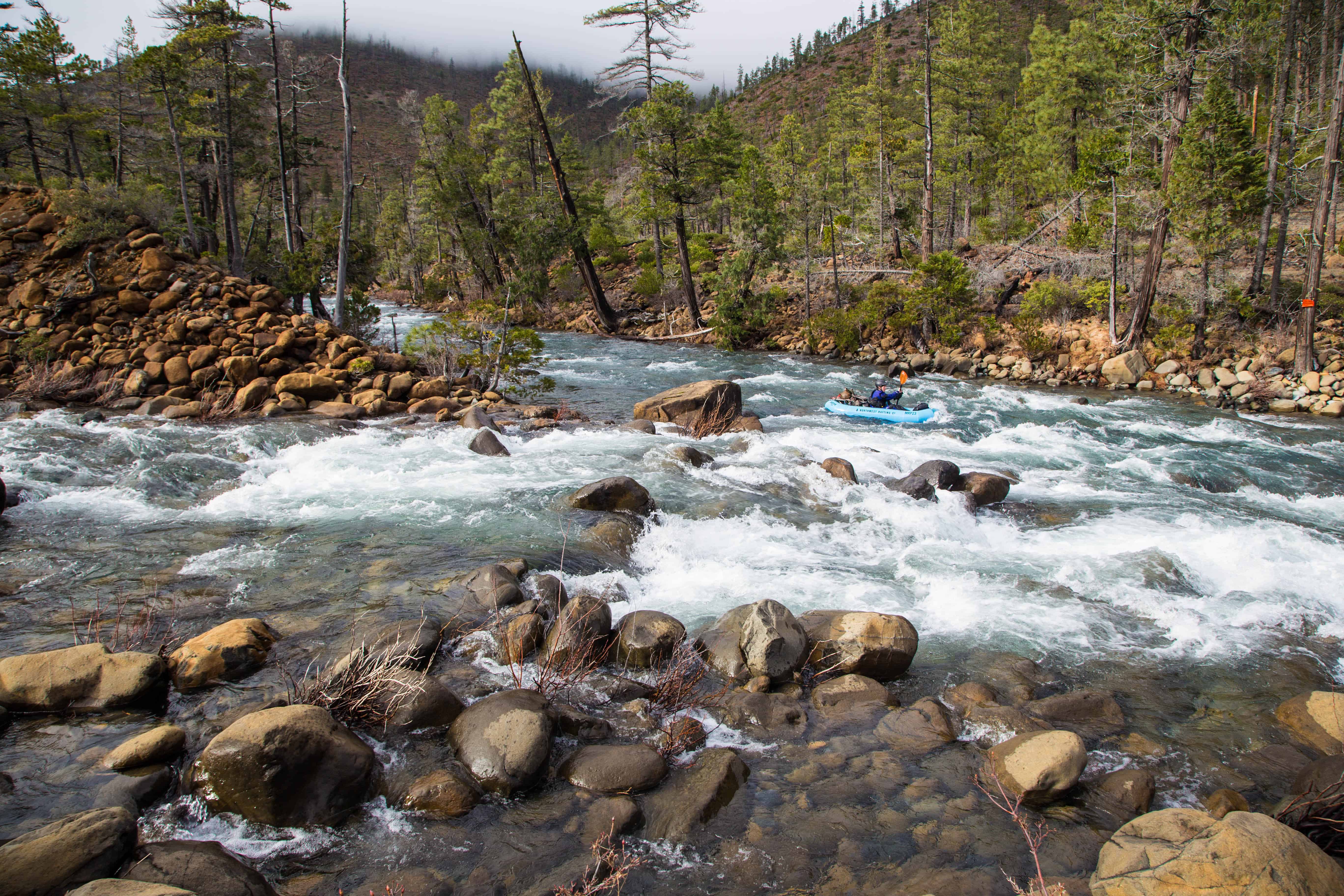
Confluence of the North and South Forks of Rough and Ready Creek
Mile 1.1: Look for a beautiful rock with a hole in it on river right.
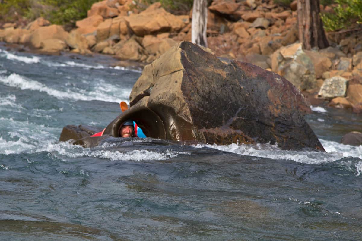
Be sure to stop for photos at this rock
Mile 2: Right Turn (III) is pretty self explanatory.
Mile 2.8: The Swimming Pools (III) are some fun rapids with fun swimming pools in between.
Mile 3.3: The Shoals (III+) is a series of bedrock ledges. At higher flows there is sneak line down a far left channel here.
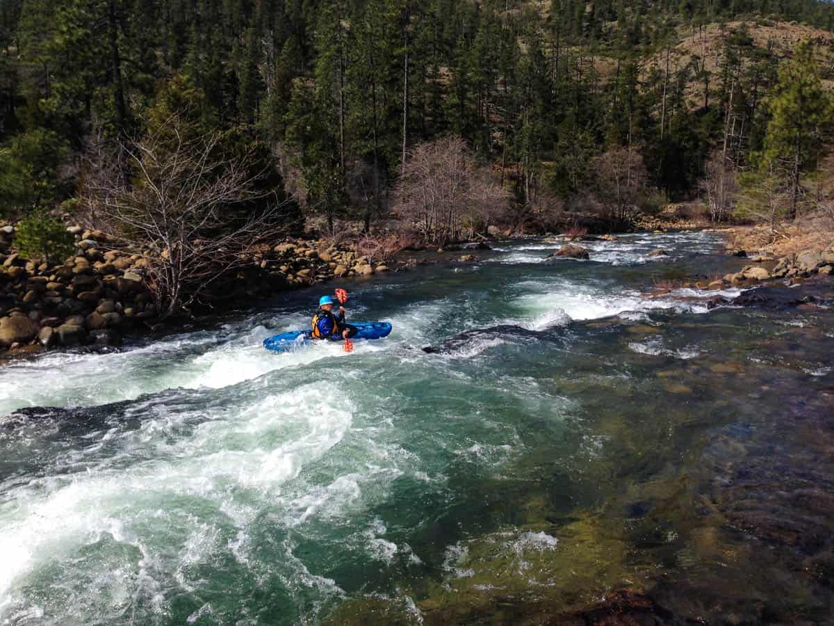
Kayaking the Shoals at Low Water
Mile 3.7: A series of 3 fairly easy rapids at most flows. At higher flows you'll probably want to scout from the left and set safety since Seats Dam (mandatory portage) comes very soon after.
Mile 4.2: Seats Dam (mandatory portage) is a dangerous low head dam that is portaged on the left side.
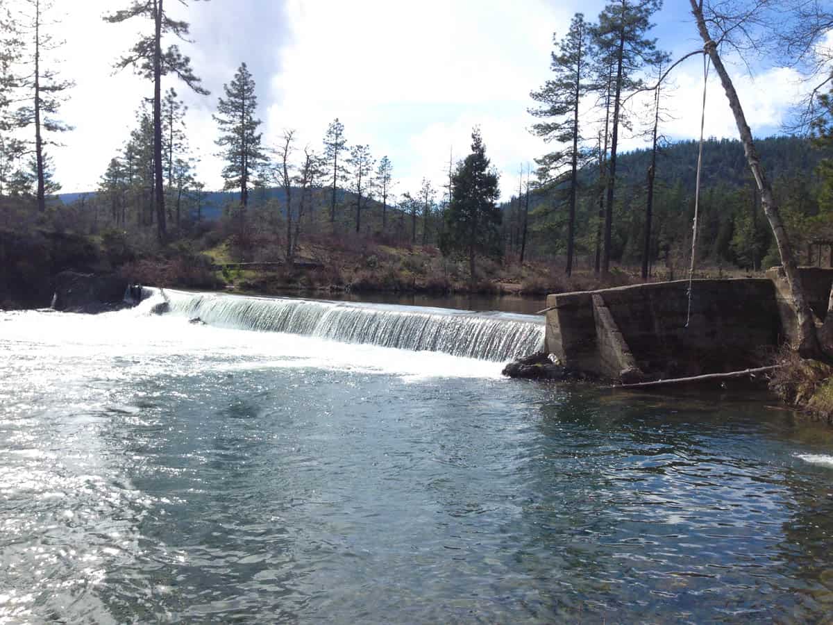
The Seats Dam is a mandatory portage at all flows
Mile 4.3: Just below Seats Dam is Boat Wrecker (IV) rapid. There are a variety of routes through jagged rocks.
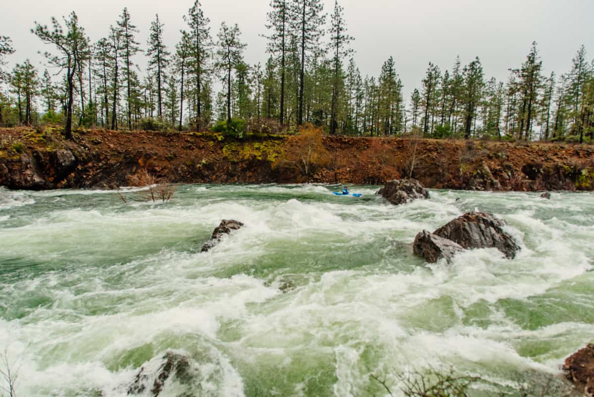
Boat Wrecker Rapid at high flows. Photo by Nate Wilson.
Mile 5.6: After navigating the braided channels, take out on river left just before going under the Highway 199 bridge. Rough and Ready Creek meets up with the West Fork of the Illinois downstream and if you're feeling energetic you can paddle this to the next Highway 199 bridge.


