In Owyhee country, the wilderness is a sagebrush sea. Across the horizon, canyon walls swell to ridge lines that roll across one of the largest undeveloped tracts of public land left in the lower forty-eight states. It is a place as beautiful as it is inhospitable. At its heart, the river forms a sinuous 346 mile long oasis stretching north from the edge of the Great Basin to the Snake River. The Owyhee River offers hundreds of miles of river trips on the East Fork, South Fork, Deep Creek, and other tributaries that could be combined for a trip over two weeks, but most people opt for a 3-5 day trip on the Owyhee River below Rome.
Featured Outfitters
 Northwest Rafting Company (541) 450-9855 is an award-winning group of professional, well-trained guides that lead people down the most beautiful rivers in the world.
 River Drifters (800) 972-0430 offers half day, full day, and multi-day rafting trips throughout Oregon and Washington.
Anyone planning a trip to the Lower Owyhee should be aware that temperatures can range from frigid to searing, and can be both in the same day. Also, due to the extreme remoteness of the region, do not count on any outside help in emergency situations. The desert snowpack that the river relies on for most of its flow varies from year to year, and the run is considerably more technical as flows drop below 1000 cfs. While inflatable kayaks can make the run down to base flows of only a couple hundred cfs, rafts will want to think twice, before putting on below 500 cfs.
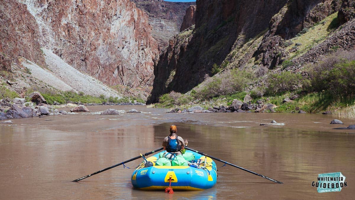
Rafting on the Owyhee River
For a more difficult and scenic section of the Owyhee River consider the Middle Owyhee above Rome.
Trip Highlights
Mile 0: Put-in at the Rome Launch Site. On busy weekends it can be incredibly crowded - please be patient, kind, and respectful.
Mile 13: Bulls Eye (III/IV) is the first major rapid encountered on the Lower Owyhee. At lower flows it is a Class IV, with a rock at the bottom that can create problems for heavier boats.
Mile 14: Hike-out Camp is located on the left, just as the canyon begins to open up. It is a great stopping point for day one and has an easy hike to the canyon rim for a spectacular view.
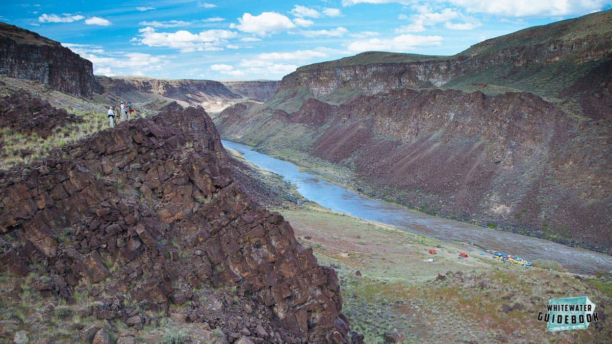
The view above Hike Out Camp
Mile 17.75: Weeping Wall Springs are easily identifiable on the left and provide a welcome opportunity to refill water supplies. Despite the dry surroundings, numerous springs along the way like this one give plenty of chances to stock up on water.
Mile 21: Read-it-and-Weep (III) and Artillery Rapid (III) occur in quick succession here.
Mile 23.75: Hot springs appear on the left. Not being maintained, the pools are often muddy and do not have room for much more than one soaker at a time. Just around the corner, camps are located on either side of the river.
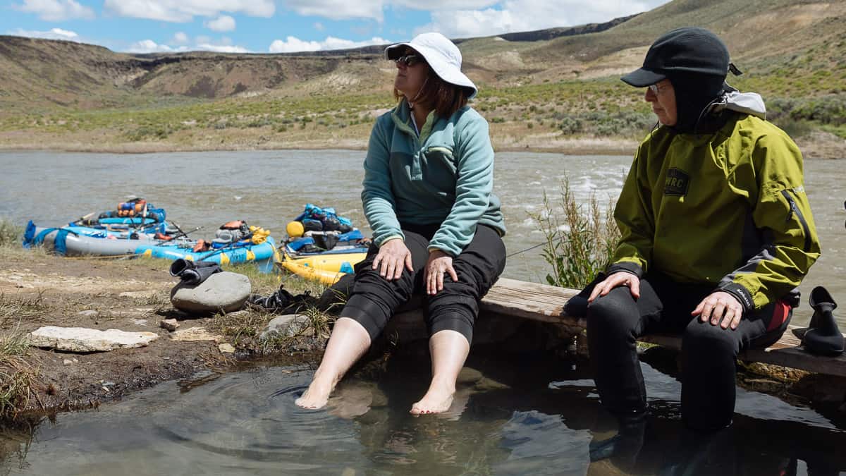
Hot springs on the Owyhee River
Mile 26.5: Lambert Dome comes into view on the left. The moderate climb to its summit is one of the best hikes on the Lower Owyhee. Follow a well worn trail up a slot canyon, passing through vivid layers of ancient lake sediment along your way. Eventually, you will gain a ridge and take that back to the left to reach the top of the dome.
Mile 31: Whistling Bird Rapid (III/IV) contains an undercut hazard that becomes more pronounced at lower flows. Though it is typically not much trouble for experienced rafters, provided there are no swimmers, inflatable kayaks and hardshells may want to scout the best route. Just past here, the river enters Iron Point Canyon. There are several opportunities to camp within the towering walls of this scenic stretch of river.
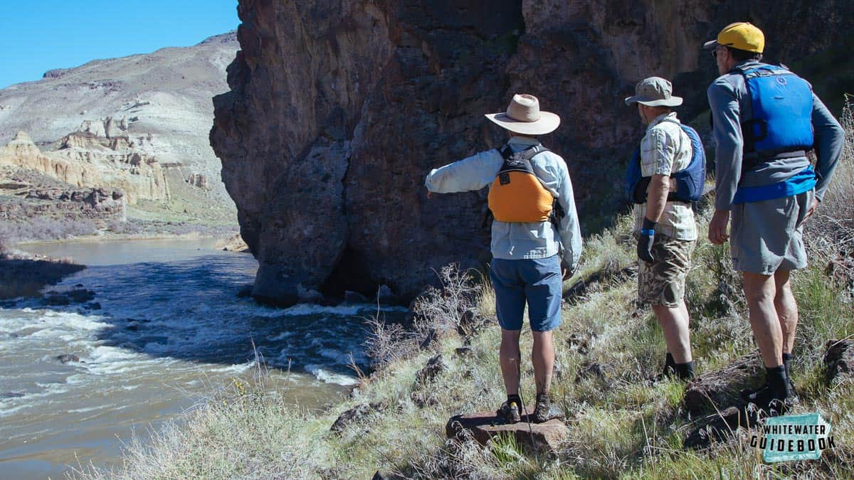
Scouting Whistling Bird Rapid on the Owyhee River
Mile 32.5: Montgomery Rapid (III/IV) is the longest and most technical rapid on the Lower Owyhee. At lower flows, you can easily scramble over rocks on the right to get a good view of the rapid.
Mile 38: Nuisance Rapid (III/IV) is a class IV at lower flows, and is followed quickly by Morcum Dam Rapid. These are the last major obstacles boaters will encounter on the Lower Owyhee River.
Mile 43.5: Hot springs appear on the left. Anyone wishing to visit these hot springs will want to take special care to avoid disturbing the sensitive wetlands that provide crucial breeding habitat for both Woodhouse and Western Toads. Park your boats downstream at Greeley Bar Camp and hike back up to the hot springs instead of walking through the wetlands. Stays here are limited to one night.
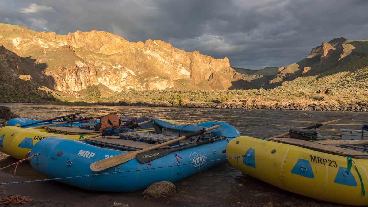
In the eddy at Upper Greeley
Mile 49.5: Birch Creek Take Out is on the right. Unless the road is washed out or closed, it is best to end your trip here. Going further involves crossing many miles of current-less reservoir to get to the next take out, Leslie Gulch, which is just past mile 67. If for some reason you do have to pass Birch Creek, try to hire a boat to tow you across the slackwater.
Mile 55: When the Owyhee Reservoir is full it begins here at mile 55.
Mile 65: Alternate take out at Leslie Gulch on river right.
Snowpack and Flow Guidelines
- Snowpack information for the Owyhee River Basin in Idaho can be found on the USDA NRCS web site. When the snowpack at South Mountain goes to zero, the river flow typically drops below 900 cfs. When the snowpack at Jack Creek Upper goest the zero, the river flow typically drops below 300 cfs.
- Flow at Crutcher's Crossing helps understand the trend as it's typically a day ahead of Rome.
- Flow at Mountain City is typically 2 1/2 days ahead of Rome.

