For anyone outside of Southern Oregon or Northern California, the Kalmiopsis Wilderness is likely one of the most beautiful places you have never heard of. Its 179,755 acres give birth to three designated wild and scenic rivers and contain some of the highest concentrations of rare and endemic plants on the West Coast. Largely due to 2002’s Biscuit Fire though, and its destruction of the region’s historic trail network, the whole area has in the intervening decade also become known for its legendarily difficult access.
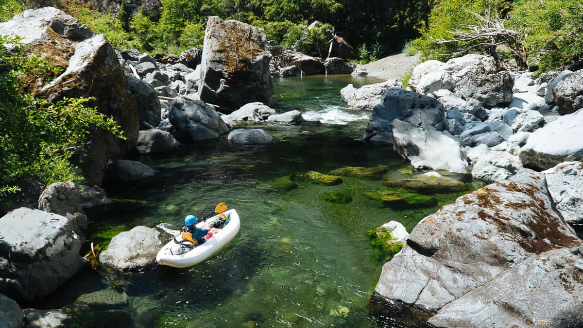
The Chetco River below Tolman Ranch
That fact though, has not kept paddlers from making the long march into some of the Kalmiopsis’s most iconic and increasingly popular whitewater, the Wilderness section of the Chetco River. Recent trips have been helped in part by the hard work of Siskiyou Mountain Club and their reopening of some of the trails, but there is still no getting around the nine mile hike to put-in that this section requires.
Fortunately, the Chetco River’s Lower Gorges, located below the Wilderness section’s typical take-out at Tolman Ranch, provide the perfect opportunity to experience the river without the commitment the upper section requires. Along with numerous Class III and IV rapids, this section also contains two of the Chetco’s largest rapids : Radiolarian Sieve and Conehead. Once through those, the river begins a gradual transition to a broad channel while trading rocky outcroppings for a lush coastal forest that includes the world’s northernmost grove of coastal redwoods.
Featured Outfitter
 Northwest Rafting Company (541) 450-9855 is an award-winning group of professional, well-trained guides that lead people down the most beautiful rivers in the world.
While this section is commonly paddled by hardshell kayaks during higher winter flows as a day trip, it has also become increasingly popular as multi-day trip for IK's during the summer. For the latter, lower flows allow the larger rapids to be safely portaged while also making more riverside real estate available for camping.
Trip Highlights
Mile 0: Put in at Tolman Ranch and enjoy making your way downstream through numerous Class III/IV Rapids before arriving at the Steel Bridge.
Mile 2: Allen's Camp is a sandy beach on the right side. There's an adventurous hike up Tolman Creek to Luke's Waterfall.
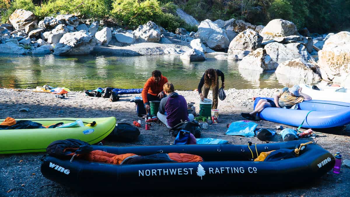
Allen's Camp on the Chetco River
Mile 3.1: SB #1 (IV+) is a long, complicated rapid that can be scouted on the right side.
Mile 3.3: SB #2 (IV) is another long rapid. The most difficult part is the last drop which is typically run on the right side.
Mile 4.3: Little Matterhorn is a great camp on the right side.
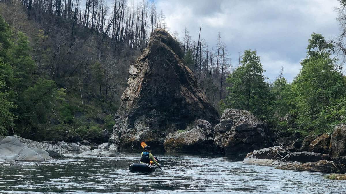
Little Matterhorn
Mile 4.5: Allen's Alley is a tricky rapid that should be scouted on the left side.
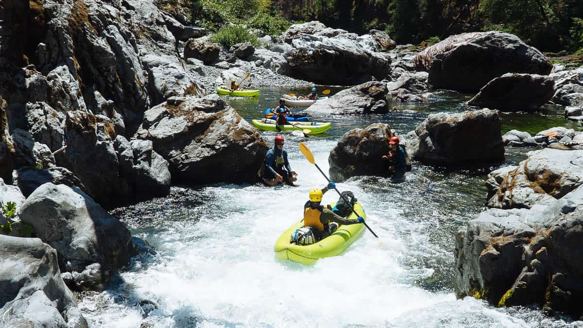
Paddling the tricky chute at Allen's Alley on the Chetco River
Mile 5.5: Steel Bridge is an alternate access point for anyone looking for a shorter trip, or hoping to take out before the large rapids downstream.
Mile 6.3: Initiation (III+) is a warm up rapid just before Radiolarian Sieve Rapid.
Mile 6.4: Radiolarian Sieve Rapid (Class V/V+). Named after the enormous pile of striped Radiolarian Chert that forms it, this rapid is an impressive sight. Scout and portage from the right.
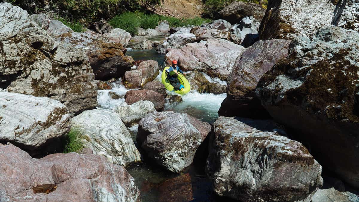
Paddling one of the drops between sieves in Radiolarian Sieve Rapid
Mile 6.6: Conehead Rapid (Class V/V+) is named after the massive boulder at the bottom. This rapid can be ran or portaged on the right.
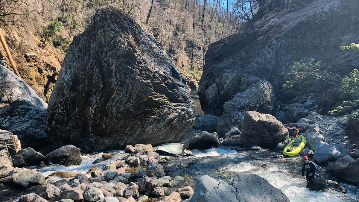
Portaging the bottom drop of Conehead Rapid
Mile 6.9: Stormy's Camp is a great camp on the left.
Mile 7.2: Eagle Creek enters from the right side.
Mile 9.9: Takeout on river left just past the South Fork of the Chetco River.


