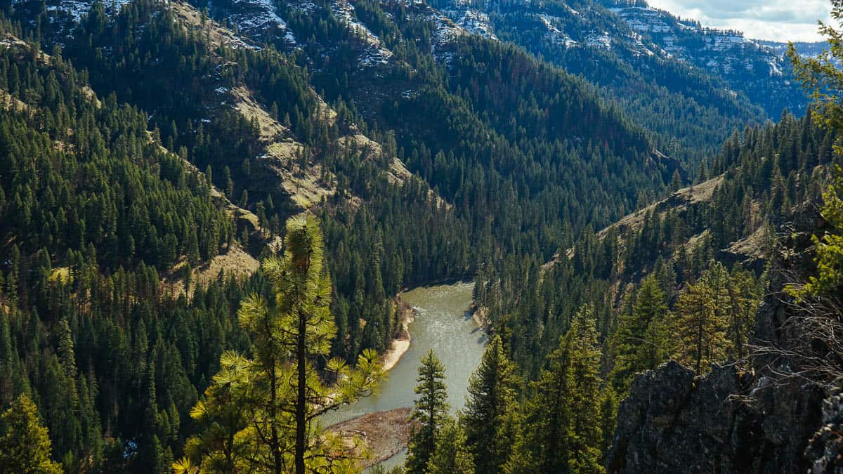
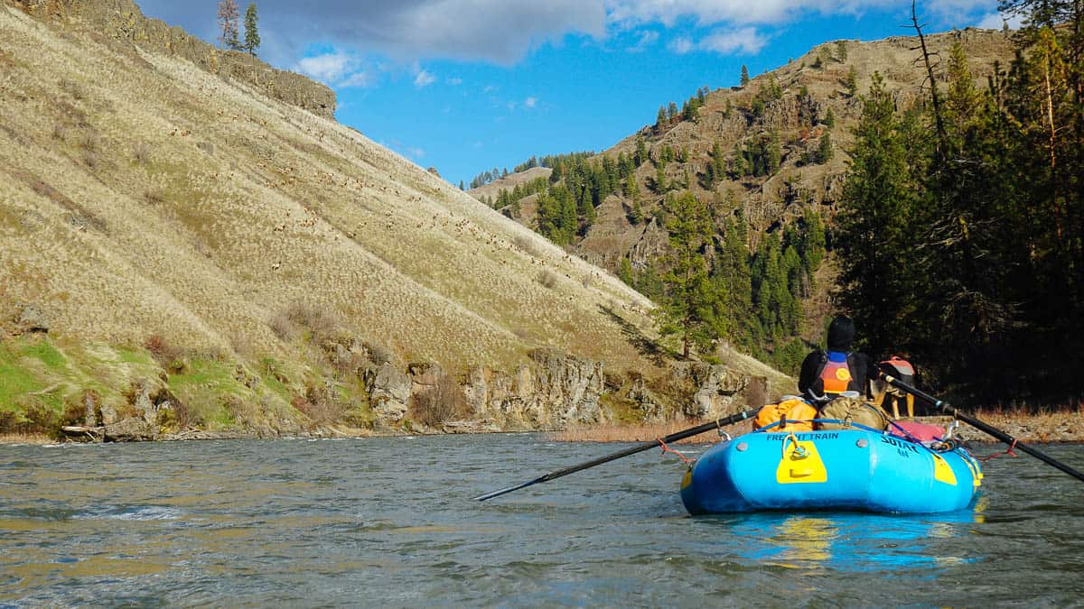
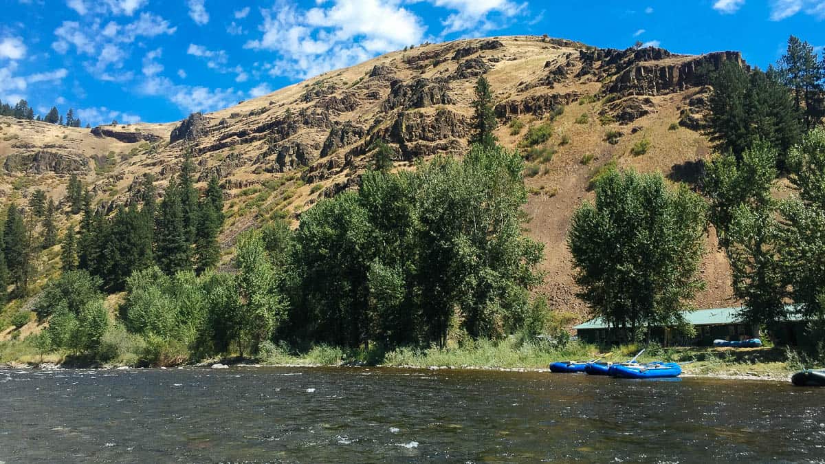
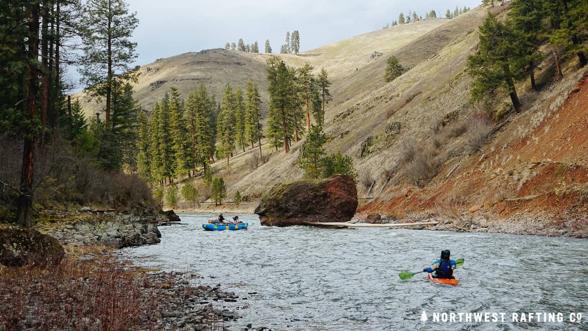
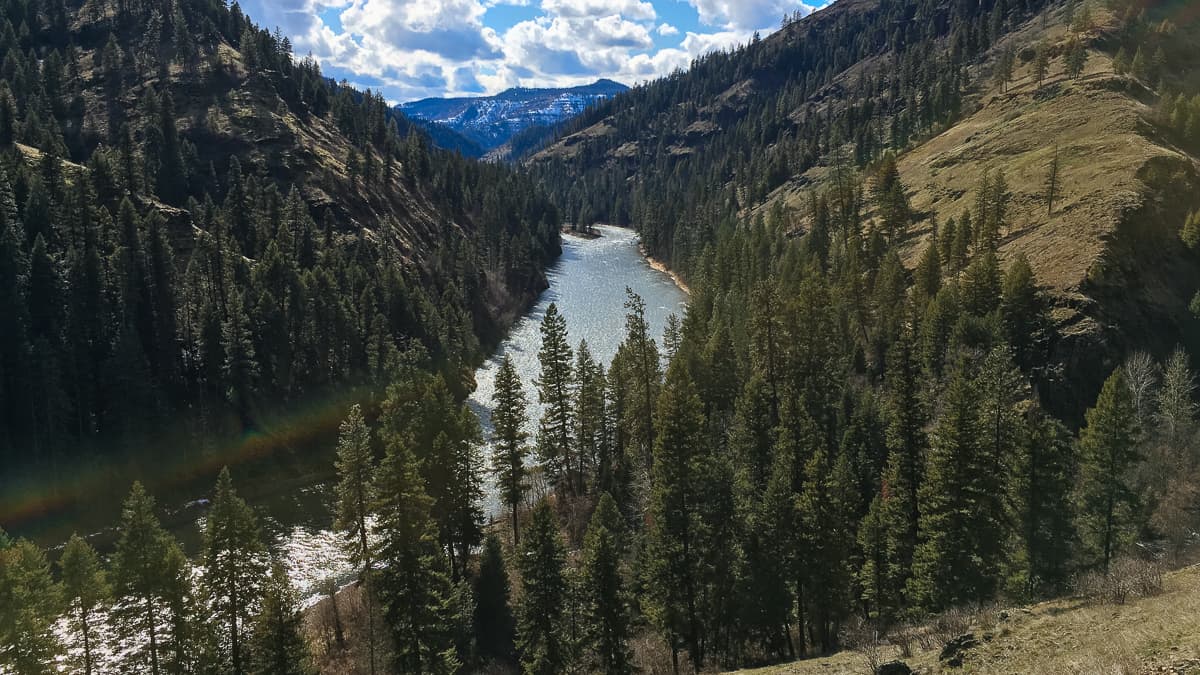
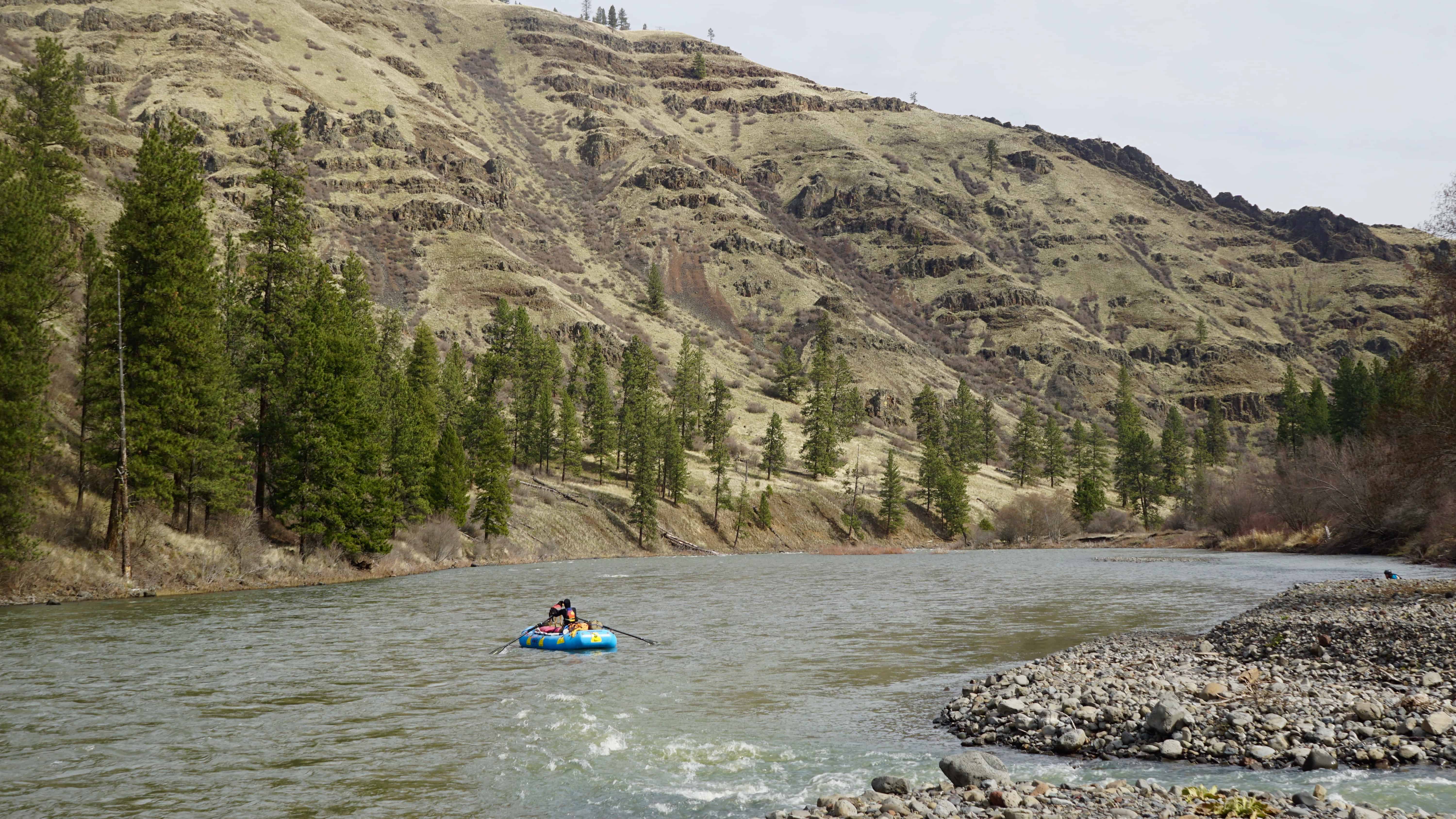
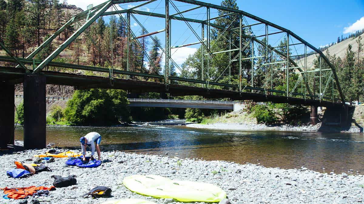
The Grande Ronde Wild and Scenic River is a popular multi-day trip. The river flows out of the second highest peaks in Oregon, the Wallowas. The river canyon is formed by volcanic activity with lava flows solidifying into layers of basalt ledges. The long season, mixed with excellent scenery, abundant camps, and mellow whitewater make it a top choice for many. Large ponderosa pine bars at rivers edge offer many large camps with beautiful views of the river and surrounding canyon.
During the spring, a huge variety of wildlife can be seen with a watchful eye. Huge herds of elk grazing under the ponderosa pines, otters playing in the waves, bald eagles perched on snags and mountain goats and big horn sheep scrambling on the cliffside are just a few of the animals potentially visible. The 45 mile trip is typically done is 2-4 days, with weekends being really busy.
The Minam Store is the most common put-in. If it seems busy at the store, across the river is an equally great put-in. Just downstream of the Minam Store is the Minam State Park which has great camping. It is also next to Minam Roller surf wave.
Featured Outfitter
 Northwest Rafting Company (541) 450-9855 is an award-winning group of professional, well-trained guides that lead people down the most beautiful rivers in the world.
You can extend this trip by continuing down to Boggan's Oasis or the Snake River. This is also a popular section of river for fall Steelhead fishing in small rafts or canoes.
Trip Highlights
Mile 0: Put in at the Minam Store on the Wallowa River. Here you can set shuttle and get some last minute supplies.
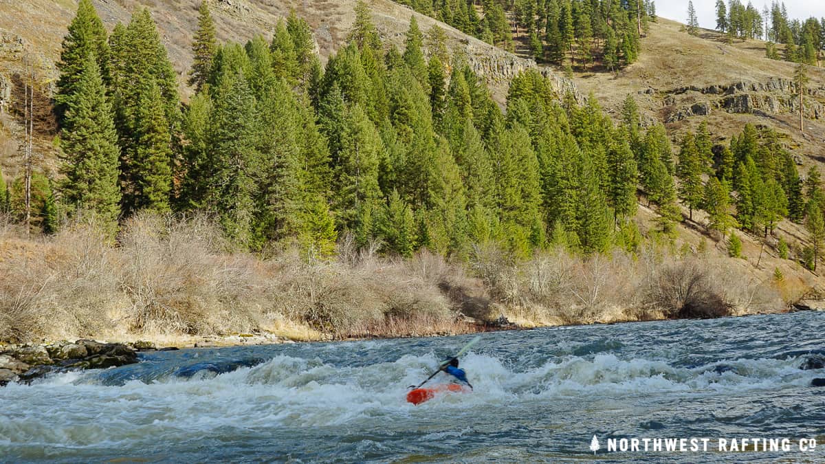
Mile 1.4: The first rapid is Minam Roller (II). There is a good surf wave here for kayaks.
Mile 4: House Rock Drop (II), also known as Red Rock, is an easy run down river left.
Mile 5.5: Vincent Falls (II+), also known as Blind Falls Rapids, is just below power lines that cross the canyon.
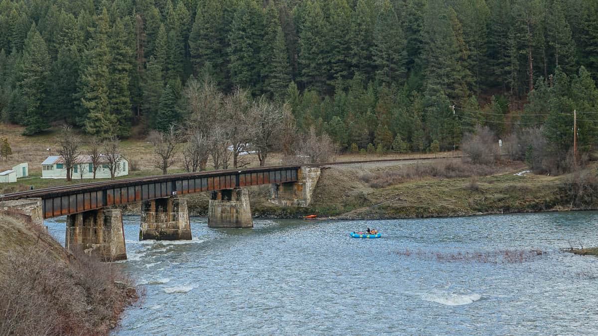
Mile 9.8: On river left, the Grande Ronde flows into the Wallowa River and continues as the Grand Ronde River until the confluence with the Snake River. There is a plaque commemorating legendary whitewater boater Buzz Holmstrom just downstream of the bridge on the left.
Mile 12: Sheep Creek Rapid (II+) comes soon after Sheep Creek enters from the right. This is a long continuous rapid with some fun surf waves for kayakers.
Mile 16: Clear Creek enters from the right.
Mile 21.5: Martin's Misery (II+) is a half mile after Alder Creek and enters from the left.
Mile 25: Bear Creek enters from the left. Park your boats at the mouth of the creek and hike up any slope for great views of the river as well as the Bear Creek drainage.
Mile 30.5: Green Canyon enters from the right. This is a stunning large, forested canyon with a nice creek flowing into the river.
Mile 32.5: Sickfoot Creek enters from the right. This creek is named after David Rochester, a settler on the Grande Ronde who had a club foot and was known as "Sickfoot" to the native Indians.
Mile 38: The Powwatka Bridge can be used as take out or serve as a marker that you are getting close to Troy.
Mile 38.5: Mud Creek Access on the right can be used as an alternative take out, one with facilities.
Mile 45: Courtney Creek enters from the right side.
Mile 45.5: Take-out at the confluence of the Grand Ronde and the Wenaha River at the small town of Troy. You can continue another 19 miles down to Boggan's Oasis.


