Pro Tip: June Trips on the Middle Fork of the Salmon
June is a great time to visit the Middle Fork of the Salmon River, but also very unpredictable. Here are some tips to help you plan your trip.
Snowpack and Water Flows
You'll probably check the snowpack and river flows almost every day from now until your trip. I suggest visiting our Middle Fork Salmon Flow Page page to see how this year's snowpack compares to an "average" year. The flow predictions are "for entertainment purposes only" since they're a good guideline but not terribly accurate.
"Average" Snowpack
A snowpack between 80% and 120% of average is ideal. The Middle Fork will likely peak sometime the at the and of May or first week of June and get up to 6 or 8 feet. A few really experienced groups will get on the water above 6 feet and have a great time, a number of inexperienced groups will cancel their trips, and a few inexperienced groups will go during the peak and have some sort of major problem. We'll hear stories about flips at Murhp's hole and Velvet Falls and a group or two will fly out after their first day or two. The second half of June will likely have perfect flows around 4 feet.
If the snowpack is higher than 120% of normal then expect higher flows for a long period of time with a peak of 8 feet or higher. When this happens the whole month of June could see high water and there will be a lot of epic stories coming from the Middle Fork. If you have a permit in August you'll be really happy.
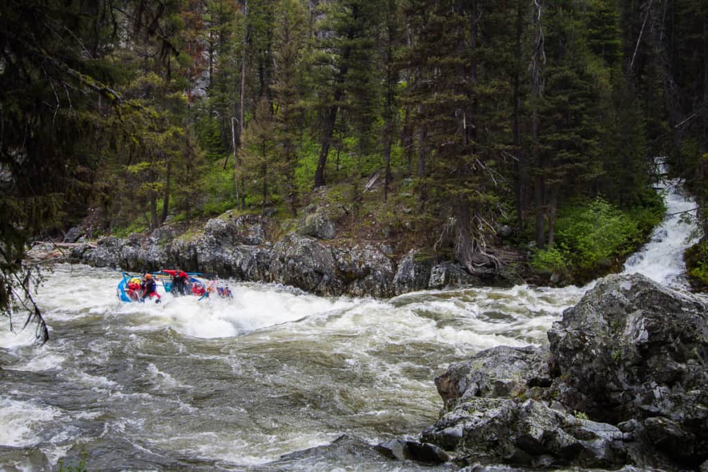
Velvet Falls at 6.5 feet
It's important to note two things that can happen with snowpack and flows:
1. We have a normal snowpack (80% to 120%) through March, but a cold wet spring changes things and the snowpack jumps to 150% of normal plus.
2. We have a huge snowpack (120% or higher) followed by a warm spring and an early snowmelt peak in May. Flows in June end up being normal or even lower than normal.
So no matter how many times you check the snowpack and flows, your big decisions will happen a week or even a couple days before you actually launch.
The Road to Boundary Creek
In a high snowpack year the road to Boundary Creek Launch Site can be closed in early June. Sometimes the Forest Service plows the road early and other times an intrepid group of paddlers clears the road with hand tools. You'll be checking the message boards every day waiting to hear when the road is confirmed to be open.
If the road to Boundary Creek isn't open for your launch date, here are your options:
1. Fly everything into Indian Creek and start your trip there. Most groups don't want to pay the money for the flights and/or miss the first 25 miles so they choose the more difficult and dangerous second option.
2. Launch your boats on Marsh Creek. You can paddle down Marsh Creek down to Boundary Creek in a day. This section is continuous and often full of wood so this option should only be attempted by teams of experts. At flows higher than 5 feet this section becomes much more continuous and dangerous. If you choose run Marsh Creek you'll have to either run the Class V Dagger Falls or portage it. At flows above 6 feet many people portage it - which is no easy task.
The first group down Marsh Creek each year typically reports back about the wood situation here. Before you go please search out and find this information.
The Whitewater
The higher June flows make for a more exciting (and potentially dangerous) experience. The most dangerous part is the first 20 miles where the river is the steepest and most continuous.
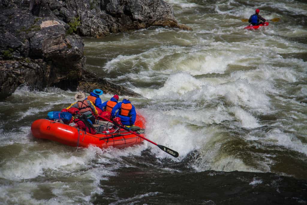
Pistol Creek Rapid at 6.5 feet
It's not that the individual moves are particularly hard, but that there are many of them and getting a swimmer or upside down boat to shore can be difficult or impossible.
Here are general notes about flows:
- 3 - 4 feet: this is the sweet spot! The whitewater is great and there are eddies to catch along the way.
- 4 - 5.5 feet: things start getting real with some bigger holes and moves that need to be made. There are still some eddies but they are harder to catch.
- 5.5 - 7 feet: this is where there are very few eddies in the first 20 miles. The moves are all Class IV but there is little room for errors. A flip or a swim can be very difficult to recover from. Your group should be full of solid Class IV boaters who know each other and work as a team. There should also be a few people who know the river well.
- 7 feet and higher: You should be solid experts who know the river well and want to be challenged. It's common to have logs coming down the river at these flows.
If you've made it through the first 20 miles with style then you'll love the remaining 80 miles which will have plenty more big rapids but with more recovery room in between.
