This is a fun expedition in the High Himalayas of Bhutan. It requires a few days of hiking up past the mountain town of Laya to the put-in and well worth the effort if you like steep, creeky whitewater.
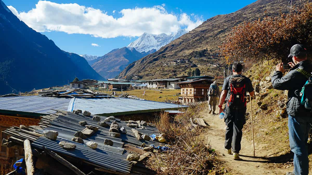
Arriving in Laya, Bhutan on the way to put-in
Begin by driving the road up the Mo Chhu past Gasa until it ends. In 2017 it was a two days walk to the town of Laya but it will be shorter every year after as road construction continues. The put-in is another half day of hiking past Laya. The mountains are incredibly beautiful here so it's a good idea to spend an extra day or two exploring the nearby mountains before paddling.
The first 6 miles of the river are incredibly steep and quite fun if you like continuous steep creeks. There are a few portages around logs and logjam to keep an eye out for. The second half after the Masang Gang Chhu adds flow, the character changes from a creek to a river.
Trip Highlights
Mile 0: Put-in at the confluence of the upper east fork and upper west fork (they don't have real names) near the base of Tiger Mountain. You can put-in higher on either fork if there's enough water to bounce down. The first 6 miles down to the Masang Gang Chhu drop 213 feet per mile.
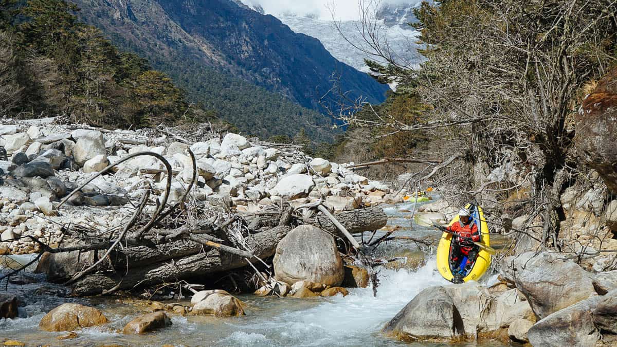
First rapid on the headwaters of the Mo Chhu
Mile 3: Pass by the town of Laya high above on river left. There are some trails from the river up to Laya.
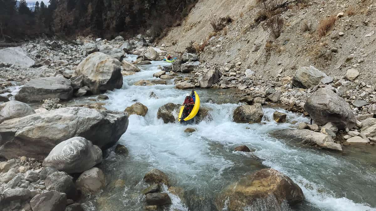
Inflatable Kayak on the headwaters of the Mo Chhu
Mile 4.8: There is a nice camp in a yak pasture on river left. Look for prayer flags high above the river.
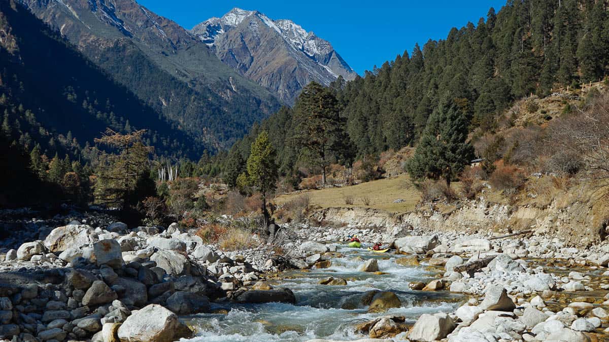
The Mo Chhu Headwaters just downstream of the yak pasture camp
Mile 5.5: The Lungo Chhu enters from river left.
Mile 6: The Masang Gang Chhu enters from river left. The trail is closer to the river from here down. The gradient eases up below here but the volume is double making the style change but difficulty stay the same.
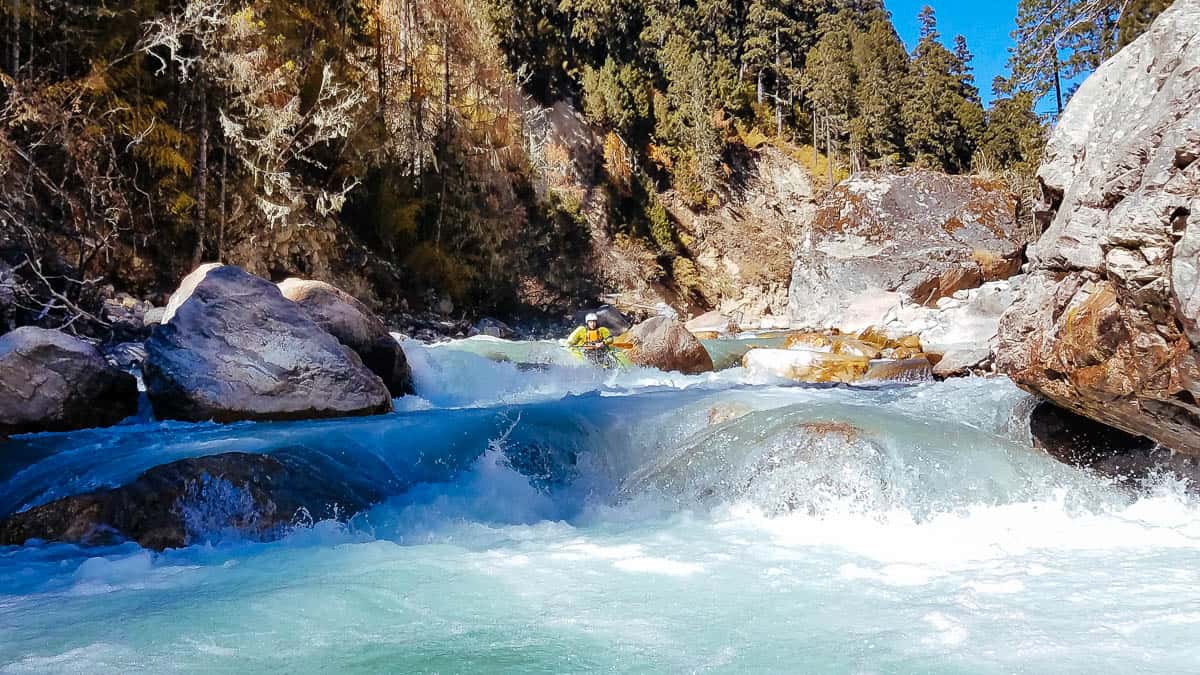
Typical rapid on the Mo Chhu below the Masang Gang Chhu
Mile 10: Take-out at Tochuzam. There are several good camps here. The river downstream is incredibly steep with many un-runnable rapids.


