This is a small river that joins the Paro Chhu in downtown Paro. Google Earth labels this as the Wang Chhu, but locals refer to it as the Druk Chhu (Dragon River). A road follows most of this run so you can drive upstream and put in wherever you want. If you're looking for a quick creek paddle just a few minutes from the airport, this is it!
Trip Highlights
Mile 0: Put-in where a bridge crosses the Druk Chhu near Do Teng Village. There are other places to put-in that you'll see as you drive up. The elevation here is 8,000 feet.
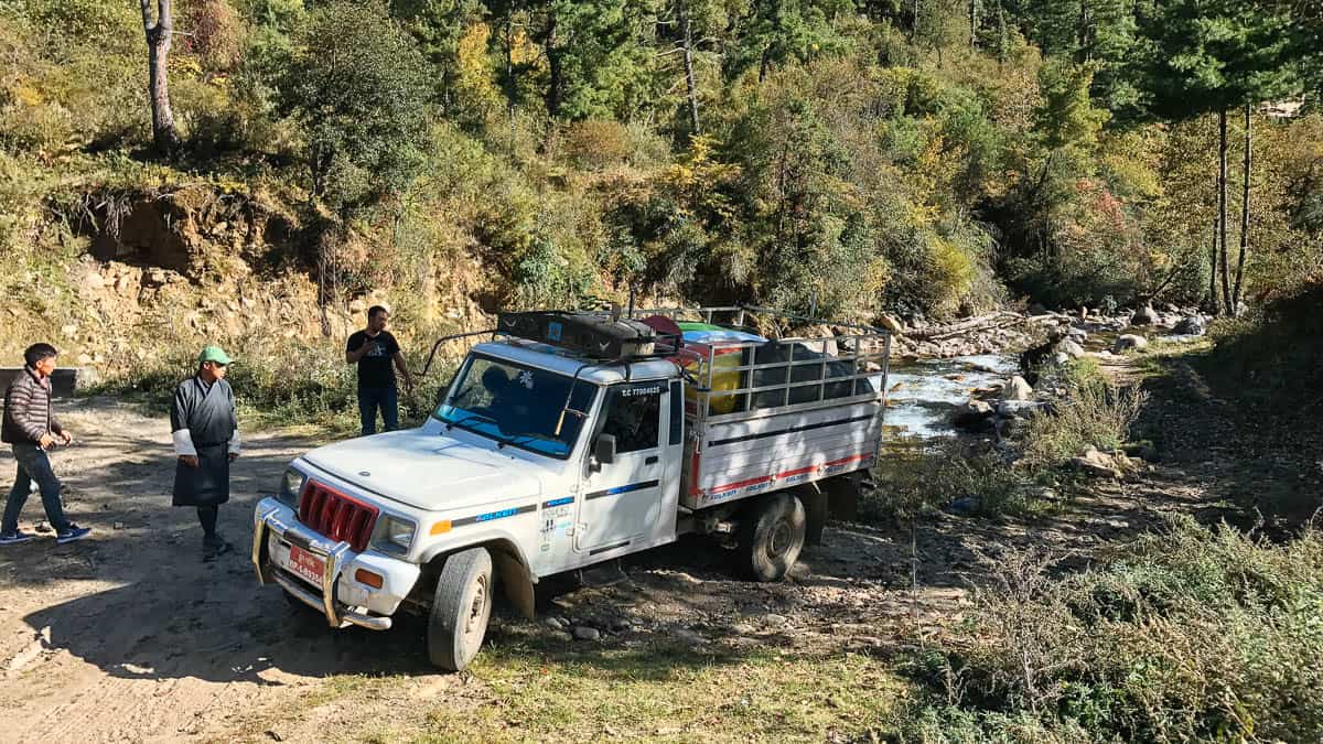
At put-in for the Druk Chhu
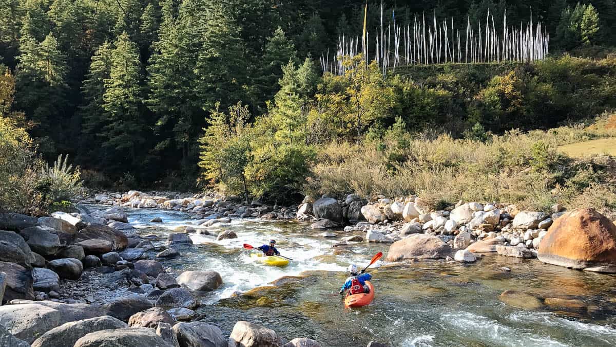
Mile 0.2: The first fun rapid has some prayer flags above it on the right.
Enjoying one of many fun creek rapids
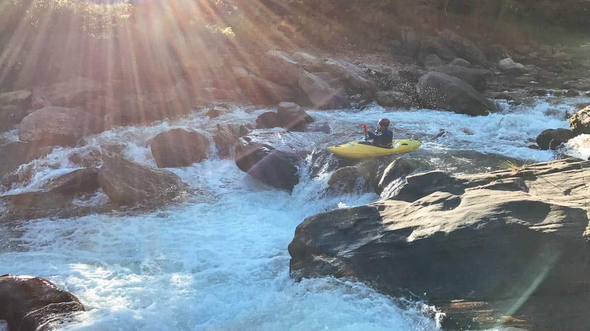
Mile 0.7: A second bridge crosses the river providing alternate river access.
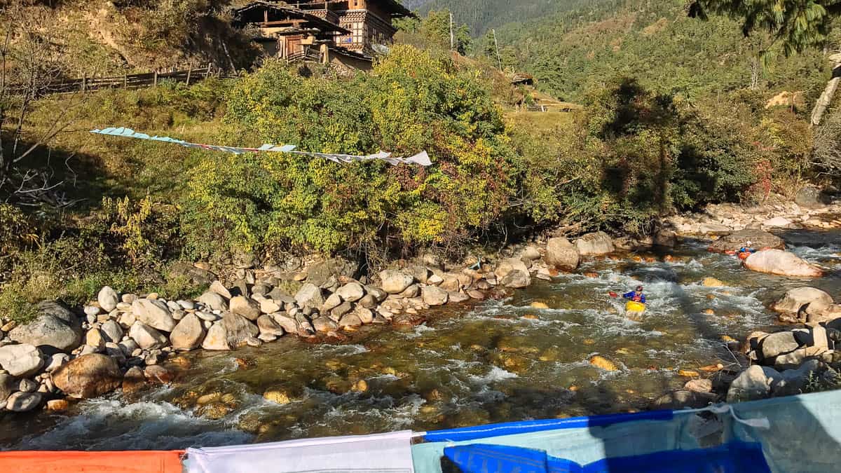
View of kayaker from the second bridge
Mile 1.3: The largest rapid on the run can be portaged on the left.
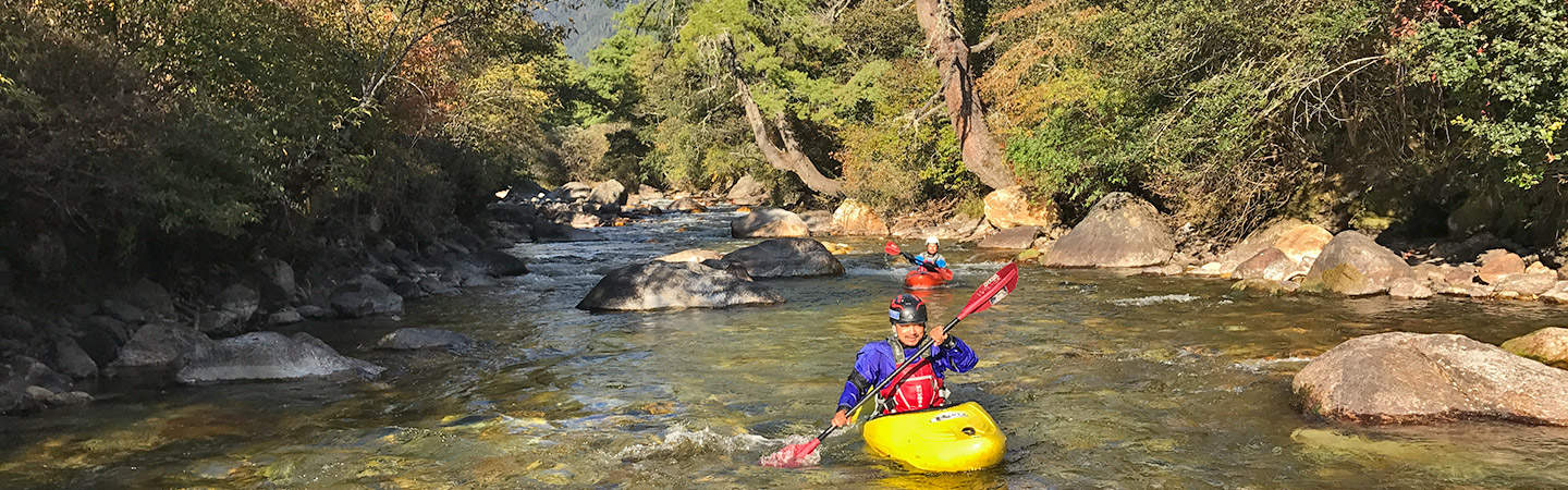
Thinley in the entrance of the biggest rapid on the Druk Chhu
Mile 2: Take-out at a bridge near a village. The river flattens out below here but you can continue paddling a few miles to Paro.

