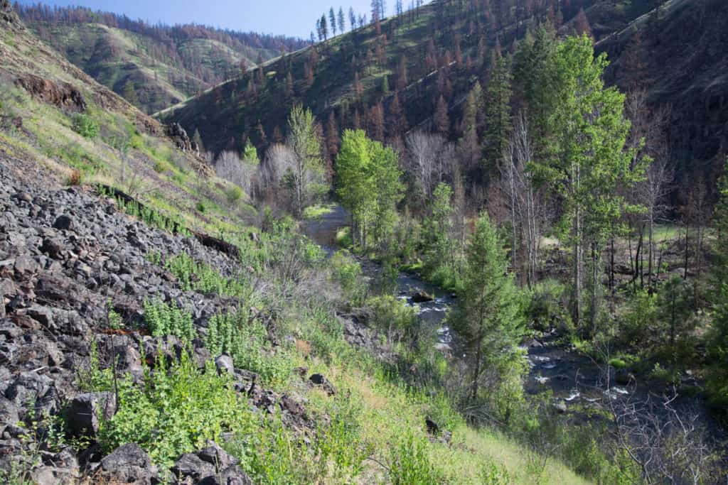
The Wenaha River flows through the Blue Mountains and the Wenaha-Tucannon Wilderness of Oregon. Most of the river is in a wide valley and much of it was burnt in the Grizzly Bear Complex Fire in 2015.
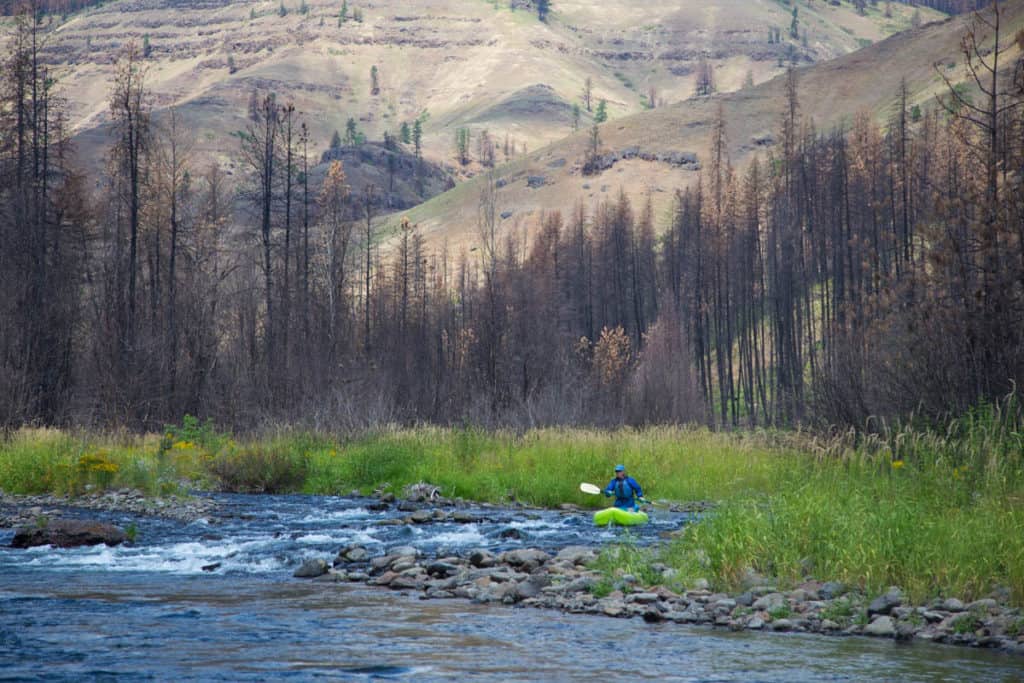
Typical Scenery on the Wenaha River
You start by hiking 5 miles down a pleasant trail to the river. There is a backpacking trail along the entire left side of the river with many established camps.
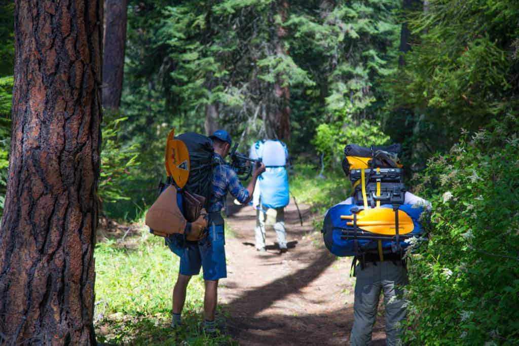
Hiking into the Wenaha River
After hiking in you can put in on the South Fork of the Wenaha or hike downstream half a mile to it's the confluence with the North Fork of the Wenaha if you want more water. The river starts off small, swift, and brushy. There are many creeks that add water as you go making it more runnable. The trip ends at it's confluence with the Grande Ronde River at Troy.
In general the river is continuous Class II and III with the occasional wood and strainer hazard. The whitewater is fairly straightforward but the combination of it's continuous character and unknown wood in the water makes it potentially dangerous. You'll need to be a confident boater who can see and avoid these dangers.
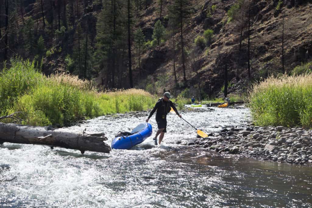
Portaging one of the wood hazards on the Wenaha River
Car shuttles can be arranged by calling the Minam Store at (541) 437-1111.
Trip Highlights
Mile 0: After hiking down the Elk Flat Trail put-in on the South Fork of the Wehana just upstream of Wenaha Forks. You can cross the South Fork and hike downstream to put in at Wenaha Forks.
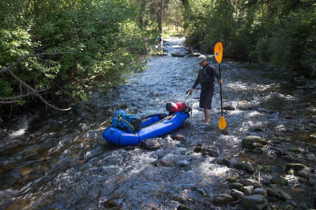
Low water boating on the South Fork Wenaha
Mile 0.5: The North Fork of the Wenaha enters from the left at Wenaha Forks.
Mile 0.8: Beaver Creek enters from the left.
Mile 4.8: Rock Creek and the Grizzly Bear Trail enter from the left.
Mile 7.2: The Cross Canyon Trail enters from the right side of the canyon.
Mile 7.6: Butte Creek enters from the left.
Mile 13.2: The Hoodoo trail comes in from the river right side.
Mile 15.5: Crooked Creek and the Crooked Creek Trail enters from the left. There are a lot of campsites here.
View of Crooked Creek from the Crooked Creek Trail
Mile 22: Take-out at the confluence with the Grande Ronde River at Troy.


