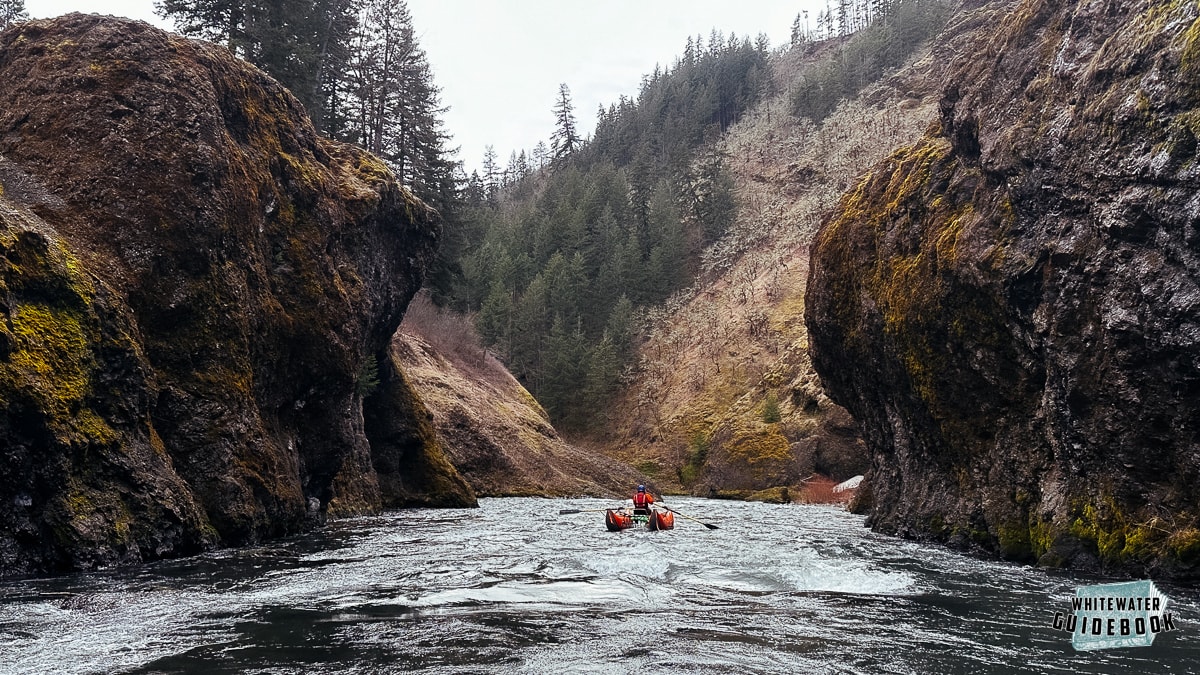
The White Salmon Narrows (a.k.a "Lower Lower" or "Bottom") is a uniquely beautiful section of river known for it's Narrows below Steelhead Falls.
This river was rarely run until Condit Dam was removed in 2011 providing passage and river flows for rafters, kayakers, and fish. The dam removal is one of the biggest and definitely the most spectacular in history and you should definitely watch this video of the blast. PacifiCorp did a great job of removing the dam and now there are few signs of this structure that stood for almost 100 years.
Although the scenery is stunning, the section of the White Salmon River is less popular than the better known "Middle White" from BZ Corners to Husum Falls. This is mainly because of the challenging portage around Steelhead Falls (V) and the flatwater for the the last mile before the Columbia River. Although it's less popular for whitewater enthusiast, if you enjoy uniquely beautiful scenery and narrow river canyons this trip is a must do!
Trip Highlights
Mile 0: Put-in at Northwestern Park. You can also launch upstream at Husum or BZ Corner to make this a longer trip by adding the Middle White Salmon and Lower White Salmon.
Mile 1.4: The Waterfall Gorge (III) starts with a fun lead in rapid that eventually funnels through a beautiful gorge with 2 waterfalls.
Mile 1.8: The site of the former Condit Dam is a narrow passage with current flowing into it. It's always hard to believe that a 125 foot tall dam recently existed here.

Boating through the site of the former Condit Dam
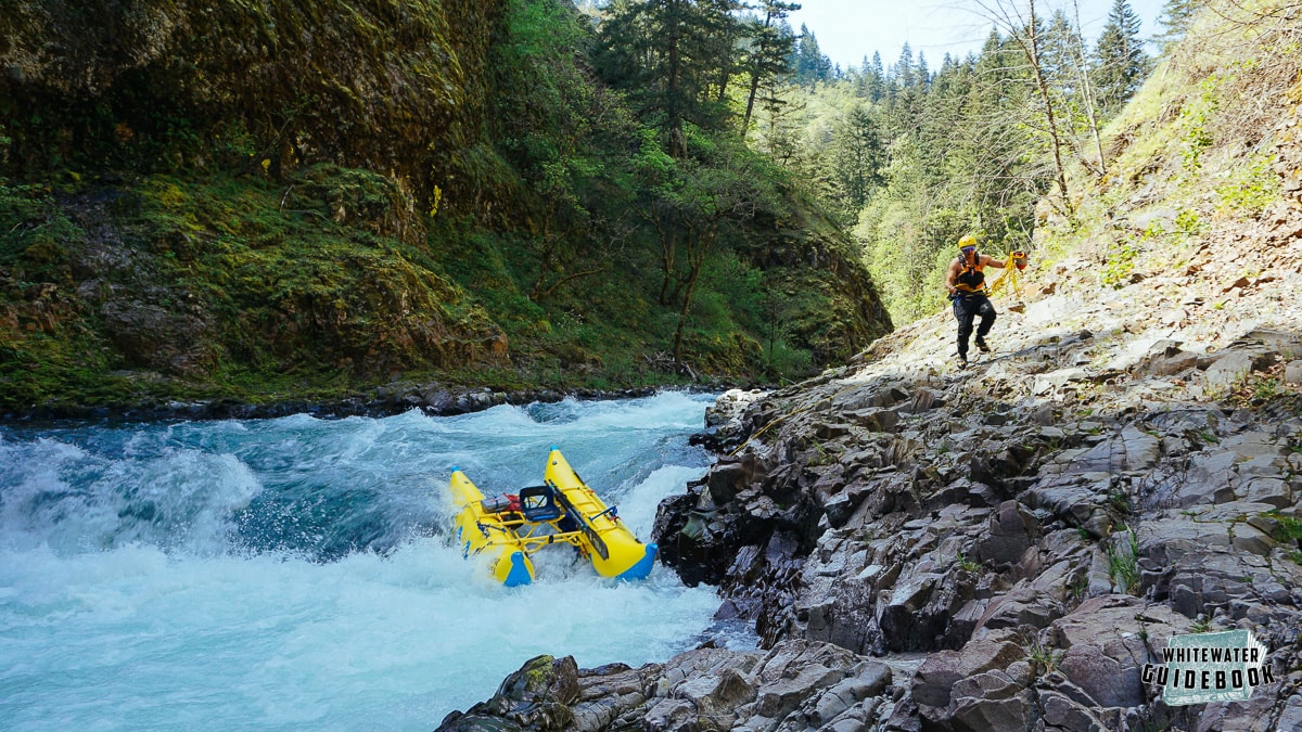
Mile 2.4: Steelhead Falls (V) has a long entrance that leads into a nearly river wide hole. Eddy out on river left after the river takes a 90 degree bend to the left and just before it takes a 90 degree bend to the right. This rapid is scouted and portaged on the left bank.

Lining a raft around Steelhead Falls
Below here the river goes through a stunning gorge commonly referred to as the Narrows.
Mile 3.0: The former Condit Powerhouse is on the left bank.
Mile 3.6: World's Hardest Class II (II+++) is a messy rapid with a handful of options. Wood likes to collect in this rapids so please be careful. The river is generally flat below here.
Mile 5: The take out is on river left just before the confluence with the Columbia River.


